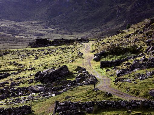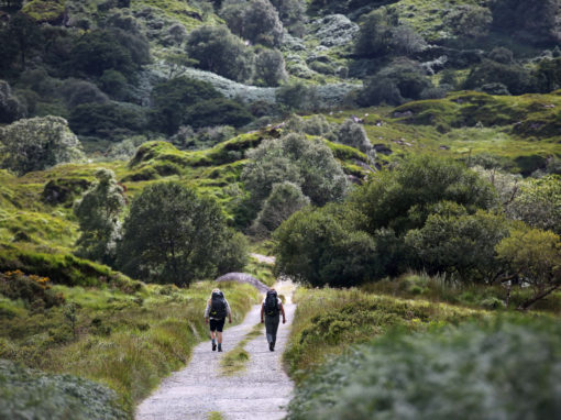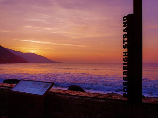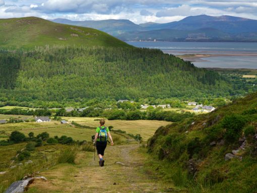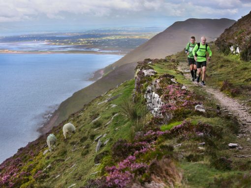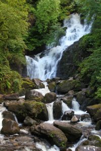
This collection of south Kerry walks are Sports Ireland approved way marked trails which are only made possible with the kind permissive access from landowners.
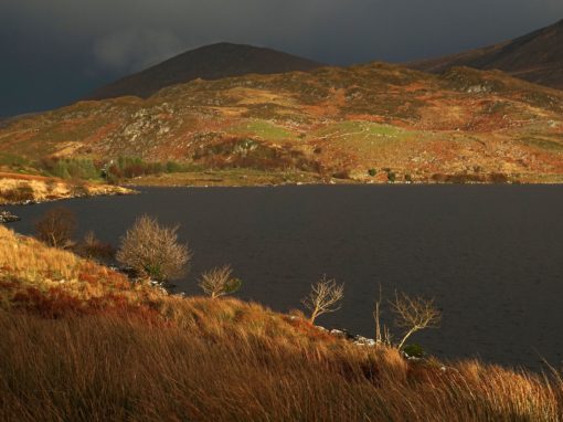
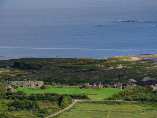
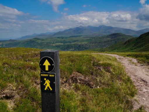
South Kerry is blessed with some of Irelands best way marked walking trails and hiking routes. You can choose from 9no. stages of Irelands longest way marked trail, The Kerry Way, to stunning coastal trails and loop walks from idyllic trail heads in Valentia Island, Portmagee, Ballinskelligs, Waterville, Cahersiveen, Caherdaniel, Glenbeigh, Sneem, Glencar, Boolteens/Keel, Black Valley, Kenmare, Bonane, Kilgarvan, Killarney and more.
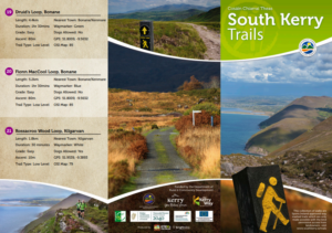
The online map of South Kerry’s way marked trails is shown below which contains the trail head GPS location, the route map and other important information on each trail:
Take this online map with you on your smartphone using this website page or use the Google Maps App.
Trails from West to East:
2. Bray Head, Valentia
3. Portmagee Pound Loop
4. Portmagee Knockeenawaddra Loop
5. Bolus Head Loop, Ballinskelligs
6. The Skellig Way, Ballinskelligs
7. Skellig Monks Trail Loop, Ballinskelligs
8. Emlagh Loop, Ballinskelligs
9. Reenroe Cliff Walk, Ballinskelligs
10. Beentee Loop, Cahersiveen
11. Beentee Caharn Loop, Cahersiveen
13. Fermoyle Loop, Sneem
14. Lonanagh Loop, Sneem
15. Keel Uphill Downhill Loop, Boolteens
16. Caher March Loop, Boolteens
17. Cronin’s Yard Loop, Beaufort
18. Cailleach Béara Loop, Bonane
19. Druids Loop, Bonane
20. Fionn MacCool Loop, Bonane
21. Rossacroo Wood Loop, Kilgarvan
Funded by the Department of Rural & Community Development

